24,99 €
inkl. MwSt.
Versandkostenfrei*
Versandfertig in 6-10 Tagen
payback
12 °P sammeln
  • Broschiertes Buch

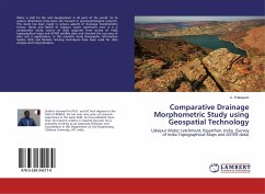
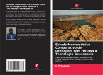
Water is vital for life and development in all parts of the world. So its various dimensions have been the focused in geomorphological research. This study has been made in various aspects of drainage morphometry (Linear, Aerial and Relief) of Udaipur water catchment area. It is a comparative study; source of data acquired from survey of India topographical maps and ASTER satellite data and checked the accuracy of data and it applications. In this scientific study Geographic Information System (GIS) and Remote Sensing techniques have been used for data analysis and interpretations.

Produktbeschreibung
Water is vital for life and development in all parts of the world. So its various dimensions have been the focused in geomorphological research. This study has been made in various aspects of drainage morphometry (Linear, Aerial and Relief) of Udaipur water catchment area. It is a comparative study; source of data acquired from survey of India topographical maps and ASTER satellite data and checked the accuracy of data and it applications. In this scientific study Geographic Information System (GIS) and Remote Sensing techniques have been used for data analysis and interpretations.
Autorenporträt
El autor se doctoró y obtuvo un máster en Tecnología de la Información Geográfica y SIG. Tiene más de diez años de experiencia investigadora en el mismo campo y ha publicado más de 25 artículos de investigación en revistas y libros de renombre. Actualmente trabaja como Profesor Asociado y Coordinador en el Departamento de Ingeniería Civil de la Universidad de Chitkara, H.P, India.