106,99 €
inkl. MwSt.
Versandkostenfrei*
Versandfertig in 6-10 Tagen
payback
53 °P sammeln
  • Broschiertes Buch

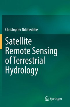
This book highlights several opportunities that exist in satellite remote sensing of large-scale terrestrial hydrology. It lays bare the novel concept of remote sensing hydrology and demonstrates key applications of advance satellite technology and new methods in advancing our fundamental understanding of environmental systems. This includes, using state-of-the-art satellite hydrology missions like the Gravity Recovery and Climate Experiment and other multi-mission satellite systems as important tools that underpin water resources planning and accounting. This book discusses and demonstrates…mehr

Produktbeschreibung
This book highlights several opportunities that exist in satellite remote sensing of large-scale terrestrial hydrology. It lays bare the novel concept of remote sensing hydrology and demonstrates key applications of advance satellite technology and new methods in advancing our fundamental understanding of environmental systems. This includes, using state-of-the-art satellite hydrology missions like the Gravity Recovery and Climate Experiment and other multi-mission satellite systems as important tools that underpin water resources planning and accounting. This book discusses and demonstrates how the efficacy, simplicity, and sophistication in novel computing platforms for big earth observation data can help facilitate environmental monitoring and improve contemporary understanding of climate change impacts on freshwater resources. It also provides opportunities for practitioners and relevant government agencies to leverage satellite-based information in a transdisciplinary context to address several environmental issues affecting society. This book provides a general framework and highlights methods to help improve our understanding of hydrological processes and impact analysis from extreme events (e.g., droughts, floods) and climate change.
Autorenporträt
Dr. Christopher Ndehedehe is a senior lecturer at the School of Environment and Science, Griffith University, where he concurrently serves as an Australian Research Council (ARC) DECRA (Discovery Early Career Researcher Award) fellow (2023-2026). He joined Griffith University in June 2018 under its Areas of Strategic Investment as a Research Fellow in Griffith's Australia's Rivers Institute. This was after the completion of an outstanding Ph.D. thesis, which received the vice-chancellor's commendation in early 2018 at Curtin University, Western Australia. Christopher is a leading expert in satellite hydrology and environmental geo-informatics with a strong international reputation and experience in remote sensing of water resources. This is exemplified in his pioneering cutting-edge cross-disciplinary research in environmental remote sensing and satellite hydrology that connects climate, freshwater resources, and the environment.