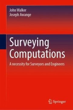
Designed for undergraduate students with no prior computational background, this comprehensive textbook systematically builds essential surveying skills through three structured parts. Part 1 establishes foundational competencies across 10 chapters, beginning with mathematical formulas, coordinate systems, and conversions before progressing to trigonometric angular computations. It covers practical field procedures like intersections, resections, and traversing for horizontal control establishment, followed by earthwork area calculations and circular curve computations for road/rail alignment. The section concludes with cadastral subdivision techniques, reinforced by Chapter 18 s consolidated formula repository and calculator application guide. Part 2 advances to intermediate concepts, addressing significant figures, error propagation, and extended curve designs incorporating superelevation (transition/composite/vertical curves). Geological strike/dip analysis and coordinate transformations are presented alongside detailed Transverse Mercator projection workflows with multi-parameter examples. Part 3 explores specialized topics including least squares adjustment of plane intersections, modern EDM positioning, survey line alignment, and inter-zone Mercator transformations. Featuring 22 chapters with over 500 diagrams, 120 interconnected equations, and 80 reference tables, the book emphasizes practical mastery through worked examples, chapter exercises with solutions, and real-world applications. The progressive structure scaffolds learning from basic arithmetic to advanced adjustments, while the consistent focus on computational precision prepares students for both field practice and further studies. Particular attention is given to visualizing mathematical concepts through surveying applications, with algorithmic approaches presented alongside traditional methods. Ideal for introductory through intermediate courses, this resource balances theoretical rigor with immediately applicable techniques, serving as both a classroom textbook and a lifelong professional reference.
Bitte wählen Sie Ihr Anliegen aus.
Rechnungen
Retourenschein anfordern
Bestellstatus
Storno

