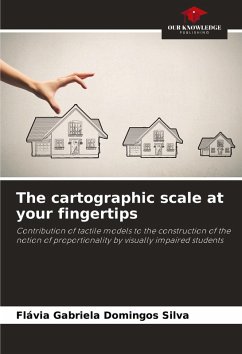
School cartography is very important for teaching and learning geography, as it makes it possible to analyse phenomena and objects through their spatiality. One of the most important cartographic concepts is scale, understood as the ratio of similarity between the real area and its representation, i.e. a quantifiable ratio. However, the notion of proportionality is first constructed in non-quantifiable terms based on first and second order relationships and perceptual measurements. Therefore, understanding the cartographic scale can be better realised by working with the notion of non-quantifiable proportion existing in the student's living space. Considering that visual impairment limits spatial apprehension and understanding, it is important to reflect on the construction of the notion of proportion and the concept of cartographic scale by visually impaired students, since this knowledge enables other learning in relation to Geography and contributes to the development of theseindividuals' orientation and mobility skills.
Bitte wählen Sie Ihr Anliegen aus.
Rechnungen
Retourenschein anfordern
Bestellstatus
Storno

