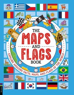
This engaging book introduces kids to maps and flags worldwide. It includes a detailed introduction explaining how maps are made, how countries are defined, and some useful information about flags. Organized by continent, the book covers every country in the world, presenting its flag and key statistics like population, capital city, and area, alongside fascinating facts explaining each flag's meaning and symbolism. Fun, quirky maps on topics such as national animals, famous explorers' routes, pirate maps, and time zones are included to make the experience lively and educational. Packed with interesting facts, it's the perfect introduction to maps and flags for young learners.
Chart a course through the world with this fun and fact-packed book which takes youngsters on a colourful, globe-trotting reading adventure...This exciting and engaging new reference book kicks off with a detailed introduction so that readers can learn how maps are created and how countries are defined before they get set off on their exciting journey of discovery. Yorkshire Evening Post

