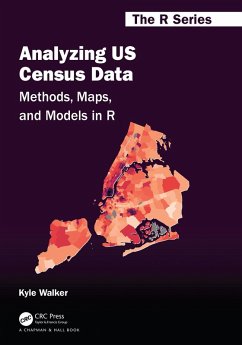
Chapters in this book cover the following key topics:
. Rapidly acquiring data from the decennial US Census and American Community Survey using R, then analyzing these datasets using tidyverse tools;
. Visualizing US Census data with a wide range of methods including charts in ggplot2 as well as both static and interactive maps;
. Using R as a geographic information system (GIS) to manage, analyze, and model spatial demographic data from the US Census;
. Working with and modeling individual-level microdata from the American Community Survey's PUMS datasets;
. Applying these tools and workflows to the analysis of historical Census data, other US government datasets, and international Census data from countries like Canada, Brazil, Kenya, and Mexico.
Dieser Download kann aus rechtlichen Gründen nur mit Rechnungsadresse in A, B, BG, CY, CZ, D, DK, EW, E, FIN, F, GR, HR, H, IRL, I, LT, L, LR, M, NL, PL, P, R, S, SLO, SK ausgeliefert werden.

