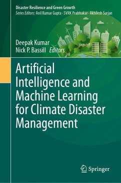
This book is a timely exploration of how cutting-edge technology can shape our response to climate-related disasters. The book embarks on a journey through the intricate web of geospatial data, uncovering its indispensable role in disaster preparedness, response, and recovery. Several ways in which AI and ML are being applied comprise Early Warning Systems, Disaster Response Planning, Damage Assessment, Risk Assessment and Vulnerability Mapping, Climate Modeling and Simulation, Resilience and Adaptation Strategies, Satellite Imagery for Disaster Response, Vulnerability Mapping and Resilience Planning, Data Integration in Emergency Response, Climate Adaptation Policies, among many others. Real-world case studies and practical insights illustrate how geospatial technology empowers early warning systems, enhances risk assessment, and streamlines resource allocation. It delves into the nuances of climate adaptation planning, shedding light on innovative strategies for building resilient communities and infrastructure.
This book will serve as an invaluable resource for policymakers, disaster managers, researchers, and anyone concerned with safeguarding communities against climate-related disasters.
Dieser Download kann aus rechtlichen Gründen nur mit Rechnungsadresse in A, B, BG, CY, CZ, D, DK, EW, E, FIN, F, GR, HR, H, IRL, I, LT, L, LR, M, NL, PL, P, R, S, SLO, SK ausgeliefert werden.


