New in the Third Edition:
- Includes additional illustrations in full color.
- Uses sample images acquired from different ecosystems at different spatial resolutions to illustrate different interpretation techniques.
- Includes updated EO missions, such as the third generations of geostationary meteorological satellites, the new polar orbiting platforms (Suomi), the ESA Sentinels program, and high-resolution commercial systems.
- Includes extended coverage of radar and LIDAR processing methods.
- Includes all new information on near-ground missions, including unmanned aerial vehicles (UAVs).
- Covers new ground sensors, as well as machine-learning approaches to classification.
- Adds more focus on land surface characterization, time series, change detection, and ecosystem processes.
- Extends the interactions of EO data and GIS that cover different environmental problems, with particular relevance to global observation.
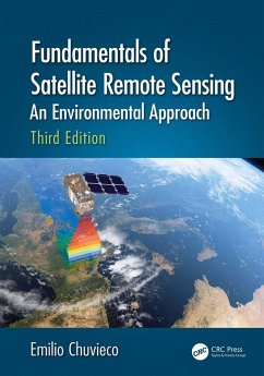
Fundamentals of Satellite Remote Sensing: An Environmental Approach, Third Edition, details the tools that provide global, recurrent, and comprehensive views of the processes affecting the Earth. As one of CRC's Essential titles, this book and stands out as one of the best in its field and is a must-have for researchers, academics, students, and professionals involved in the field of environmental science, as well as for libraries developing collections on the forefront of this industry.
Dieser Download kann aus rechtlichen Gründen nur mit Rechnungsadresse in A, B, BG, CY, CZ, D, DK, EW, E, FIN, F, GR, HR, H, IRL, I, LT, L, LR, M, NL, PL, P, R, S, SLO, SK ausgeliefert werden.

