Such requirements pose significant challenges for data management, discovery, translation, integration, visualization and communication based on the semantics of the heterogeneous (geo-) information sources with differences in many aspects: scale/resolution, dimension (2D or 3D), classification and attribute schemes, temporal aspects (up-to-date-ness, history, predictions of the future), spatial reference system used, etc.
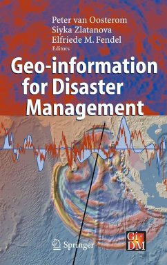
The book provides a broad overview of the (geo-information) technology, software, systems needed, used and to be developed for disaster management. The book provokes a wide discussion on systems and requirements for use of geo-information under time and stress constraints and unfamiliar situations, environments and circumstances.
Dieser Download kann aus rechtlichen Gründen nur mit Rechnungsadresse in A, B, BG, CY, CZ, D, DK, EW, E, FIN, F, GR, HR, H, IRL, I, LT, L, LR, M, NL, PL, P, R, S, SLO, SK ausgeliefert werden.
"This book provides a welcome addition to the literature on geo-information for disaster management. ... previous literature on this topic has been scattered ... . It is therefore exceedingly useful to have a consolidated range of papers in one publication. ... students, researchers, developers and users of geo-information in the disaster-management field will find this book an excellent resource. It clearly demonstrates how varied this field is ... . the book covers a large range of both natural and man-made disaster-management issues." (Catherine Lowe, Environment and Planning B: Planning and Design, Vol. 33, 2006)

