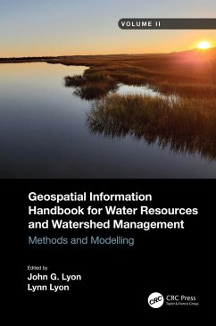
- Captures advanced technologies and applications for implementation with models to address a broad spectrum of water issues
- Provides real-world applications and case studies using advanced spectral and spatial sensors combined with geospatially facilitated water process models
- Features a Neuse River Basin case study integrating hydrologic methods and modeling along with remote sensing and GIS technologies for nonpoint source water quality evaluations
- Global coverage with applications demonstrated by more than 170 experts from around the world
This handbook is a wide-ranging and contemporary reference of advanced geospatial techniques used in numerous practical applications at the local and regional scale and is an in-depth resource for professionals and the water research community worldwide.
Dieser Download kann aus rechtlichen Gründen nur mit Rechnungsadresse in A, B, BG, CY, CZ, D, DK, EW, E, FIN, F, GR, HR, H, IRL, I, LT, L, LR, M, NL, PL, P, R, S, SLO, SK ausgeliefert werden.

