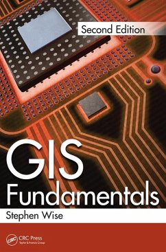
See What's New in the Second Edition:
- Coverage of the use of spatial data on the Internet
- Chapters on databases and on searching large databases for spatial queries
- Improved coverage on route-finding
- Improved coverage of heuristic approaches to solving real-world spatial problems
- International standards for spatial data
The book begins with a brief but detailed introduction to how computers work and how they are programmed, giving anyone with no previous computer science background a foundation to understand the remainder of the book. As with all parts of the book there are also suggestions for further sources of reading. The book then describes the ways in which vector and raster data can be stored and how algorithms are designed to perform fundamental operations such as detecting where lines intersect. From these simple beginnings the book moves into the more complex structures used for handling surfaces and networks and contains a detailed account of what it takes to determine the shortest route between two places on a network. The final sections of the book review problems, such as the "Travelling Salesman" problem, which are so complex that it is not known whether an optimum solution exists.
Using clear, concise language, but without sacrificing technical rigour, the book gives readers an understanding of what it takes to produce systems which allow them to find out where to make their next purchase and how to drive to the right place to collect it.
Dieser Download kann aus rechtlichen Gründen nur mit Rechnungsadresse in A, B, BG, CY, CZ, D, DK, EW, E, FIN, F, GR, HR, H, IRL, I, LT, L, LR, M, NL, PL, P, R, S, SLO, SK ausgeliefert werden.

