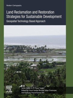
Land Reclamation and Restoration Strategies for Sustainable Development: Geospatial Technology Based Approach, Volume Ten covers spatial mapping, modeling and risk assessment in land hazards issues and sustainable management. Each section in the book explores state-of-art techniques using commercial, open source and statistical software for mapping and modeling, along with case studies that illustrate modern image processing techniques and computational algorithms. A special focus is given on recent trends in data mining techniques. This book will be of particular interest to students, researchers and professionals in the fields of earth science, applied geography, and those in the environmental sciences. - Demonstrates a geoinformatics approach to data mining techniques, data analysis, modeling, risk assessment, visualization, and management strategies in different aspects of land use, hazards and reclamation - Covers land contamination problems, including effects on agriculture, forestry, and coastal and wetland areas - Suggests specific techniques of remediation - Explores state-of-art techniques based on commercial, open source, and statistical software for mapping and modeling using modern image processing techniques and computational algorithm
Dieser Download kann aus rechtlichen Gründen nur mit Rechnungsadresse in A, B, BG, CY, CZ, D, DK, EW, E, FIN, F, GR, HR, H, IRL, I, LT, L, LR, M, NL, PL, P, R, S, SLO, SK ausgeliefert werden.

