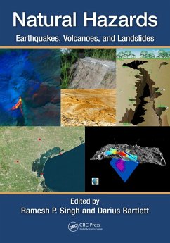
Combining reviews of theories and methods with analysis of case studies, the book gives readers research information and analyses on satellite geophysical data, radar imaging and integrated approaches. It focuses also on dust storms, coastal subsidence and remote sensing mapping. Some case studies explore the roles of remote sensing related to landslides and volcanoes. Overall, improved understanding of the processes leading to these hazardous events will help scientists predict their occurrence.
Features
- Provides information on the physics and physical processes of natural hazards, their monitoring and the mapping of damages associated with these hazards
- Explains how natural hazards are strongly associated with coupling between land-ocean-atmosphere
- Includes a comprehensive overview of the role of remote sensing in natural hazards worldwide
- Examines risk assessment in urban areas through numerical modelling and geoinformation technologies
- Demonstrates how data analysis can be used to aid in prediction and management of natural hazards
Dieser Download kann aus rechtlichen Gründen nur mit Rechnungsadresse in A, B, BG, CY, CZ, D, DK, EW, E, FIN, F, GR, HR, H, IRL, I, LT, L, LR, M, NL, PL, P, R, S, SLO, SK ausgeliefert werden.

