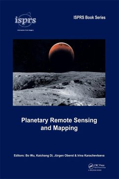
Topics covered include:
- Reference systems of planetary bodies
- Planetary exploration missions and sensors
- Geometric information extraction from planetary remote sensing data
- Feature information extraction from planetary remote sensing data
- Planetary remote sensing data fusion
- Planetary data management and presentation
Planetary Remote Sensing and Mapping will serve scientists and professionals working in the planetary remote sensing and mapping areas, as well as planetary probe designers, engineers, and planetary geologists and geophysicists. It also provides useful reading material for university teachers and students in the broader areas of remote sensing, photogrammetry, cartography, GIS, and geodesy.
Dieser Download kann aus rechtlichen Gründen nur mit Rechnungsadresse in A, B, BG, CY, CZ, D, DK, EW, E, FIN, F, GR, HR, H, IRL, I, LT, L, LR, M, NL, PL, P, R, S, SLO, SK ausgeliefert werden.

