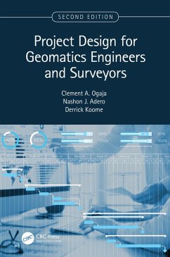
1. Provides a simple guide for geomatics engineering projects using recent and advanced technologies. 2. Includes new content on spatial data collection using GIS, drones, and 3D digital modeling. 3. Covers professional standards, professional and ethical responsibilities, and policy, social, and environmental issues related. 4. Discusses project planning including scheduling and budgeting. 5. Features practical examples with solutions and explains new methods for planning, implementing, and monitoring engineering and mining surveying projects.
Undergraduate and graduate students, professors, practicing professionals and surveyors will find this new edition useful, as well as geospatial/geomatics engineers, civil engineers, mining engineers, GIS professionals, planners, land developers, and project managers.
Dieser Download kann aus rechtlichen Gründen nur mit Rechnungsadresse in A, B, BG, CY, CZ, D, DK, EW, E, FIN, F, GR, HR, H, IRL, I, LT, L, LR, M, NL, PL, P, R, S, SLO, SK ausgeliefert werden.

