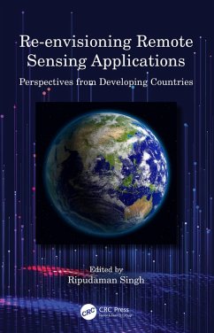
Features:
- Provides the applications of remote sensing in all fields through varied case studies and spatial data analysis
- Includes soil and land degradation, microclimates, and climate change impacts
- Covers remote sensing applications in broad areas of agriculture, hydrology, land use/land cover change and resource analysis
- Discusses usage of GPS-enabled smartphones and digital gadgets used for mapping and spatial analysis
- Explores future research agenda for applications of remote sensing in post-COVID scenario
This book is of interest to researchers and graduate students in environmental sciences, remote sensing, GIS, agricultural scientists and managers, forestry scientists and managers, and water resources scientists and managers.
Dieser Download kann aus rechtlichen Gründen nur mit Rechnungsadresse in A, B, BG, CY, CZ, D, DK, EW, E, FIN, F, GR, HR, H, IRL, I, LT, L, LR, M, NL, PL, P, R, S, SLO, SK ausgeliefert werden.

