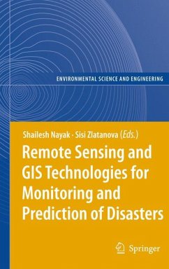
This book focuses on a wider utilisation of remote sensing in disaster management. The discussed aspects comprise data access/delivery to the users, information extraction and analysis, management of data and its integration with other data sources (airborne and terrestrial imagery, GIS data, etc.), data standardization, organisational and legal aspects of sharing remote sensing information.
Dieser Download kann aus rechtlichen Gründen nur mit Rechnungsadresse in A, B, BG, CY, CZ, D, DK, EW, E, FIN, F, GR, HR, H, IRL, I, LT, L, LR, M, NL, PL, P, R, S, SLO, SK ausgeliefert werden.
"The book has brought together a wide variety of remote sensing and GIS applications and their integrations with other techniques for disaster management and emergency response handling. Inclusion of practical examples drawn from case studies makes it easier for the reader to understand the theoretical concepts. ... a basic guide for the beginners who are interested in gaining technical expertise in the field of remote sensing and GIS applications for disaster management and emergency response handling." (Ranjani Wasantha Kulawardhana, International Journal of Digital Earth, Vol. 4 (6), November, 2011)

