Features
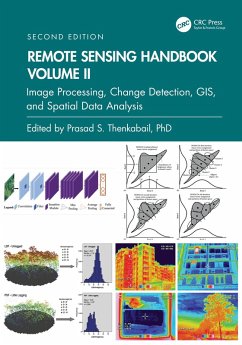
- Provides the most up-to-date comprehensive coverage of digital image processing.
- Highlights object-based image analysis (OBIA) and pixel-based classification methods and techniques of digital image processing.
- Demonstrates practical examples of image processing for a myriad of applications such as land use/land cover, croplands, and urban.
- Establishes image processing using different types of remote sensing data that includes multispectral, radar, LiDAR, thermal, and hyperspectral.
- Highlights change detection, geoprocessing, and GIScience.
This volume is an excellent resource for the entire remote sensing and GIS community. Academics, researchers, undergraduate and graduate students, as well as practitioners, decision makers, and policymakers, will benefit from the expertise of the professionals featured in this book, and their extensive knowledge of new and emerging trends.
Dieser Download kann aus rechtlichen Gründen nur mit Rechnungsadresse in A, B, BG, CY, CZ, D, DK, EW, E, FIN, F, GR, HR, H, IRL, I, LT, L, LR, M, NL, PL, P, R, S, SLO, SK ausgeliefert werden.

