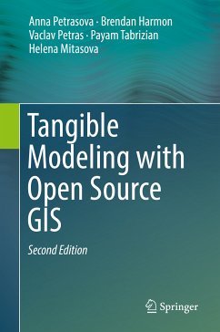
Explains how to create 3D landscape models from GIS data using technologies such as casting polymeric sand, CNC routing, and 3D printing
Provides GRASS GIS workflows and python code snippets for analyzing topography, modeling surface water flow, analyzing viewsheds, designing trails, and more
Dieser Download kann aus rechtlichen Gründen nur mit Rechnungsadresse in A, B, BG, CY, CZ, D, DK, EW, E, FIN, F, GR, HR, H, IRL, I, LT, L, LR, M, NL, PL, P, R, S, SLO, SK ausgeliefert werden.

