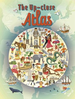
This unique illustrated book gets close up to the Earth's amazing continents, and allows readers the opportunity to explore key countries, topographical features and cities in a way that is both engaging and entertaining. In addition, the book highlights significant human, geographical, sporting and economic information, perfect for children aged 9+.
With the help of fun artwork, illustrated maps, photos and facts, this atlas is a comprehensive guide to our planet and (almost) everything on it!
Dieser Download kann aus rechtlichen Gründen nur mit Rechnungsadresse in A, B, BG, CY, CZ, D, DK, EW, E, FIN, F, GR, HR, H, IRL, I, LT, L, LR, M, NL, PL, P, R, S, SLO, SK ausgeliefert werden.

