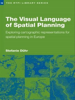
The book is the first to review the form, style and use of cartographic representations in strategic spacial plans in the Netherlands, Germany and England as well as at European level. Significant differences between planning traditions and the impact of these on transnational planning processes are highlighted. It concludes by discussing the practical implications for future strategic spacial planning processes in Europe and the best use of cartographic representations to reach agreement and to focus dialogue.
Dieser Download kann aus rechtlichen Gründen nur mit Rechnungsadresse in A, B, BG, CY, CZ, D, DK, EW, E, FIN, F, GR, HR, H, IRL, I, LT, L, LR, M, NL, PL, P, R, S, SLO, SK ausgeliefert werden.

